RealVision - http://www.realvision.ae/blog
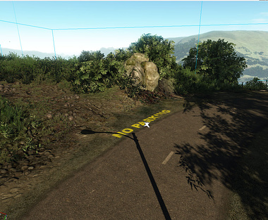
Complete Township visualization project with photorealistic realtime navigation of LAVASA, INDIA
done in CryEngine.
The visualization is down to 3 meter accuracy, using DEM data from USGS.
Environment Design, full time of day settings with shadow, to show a realtime stop and look around navigable tour of the Lavasa Valley project Phase 1.
Done in 2010.
download the document here
